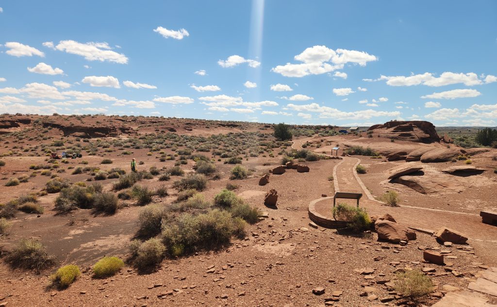


With a grant from Western National Parks, a team from the Department of Anthropology and NAU’s Radiant Center for Remote Sensing has partnered with the National Park Service (NPS) on the architectural documentation and digital mapping of Wukoki Pueblo, a site 30 miles north of Flagstaff within Wupatki National Monument.
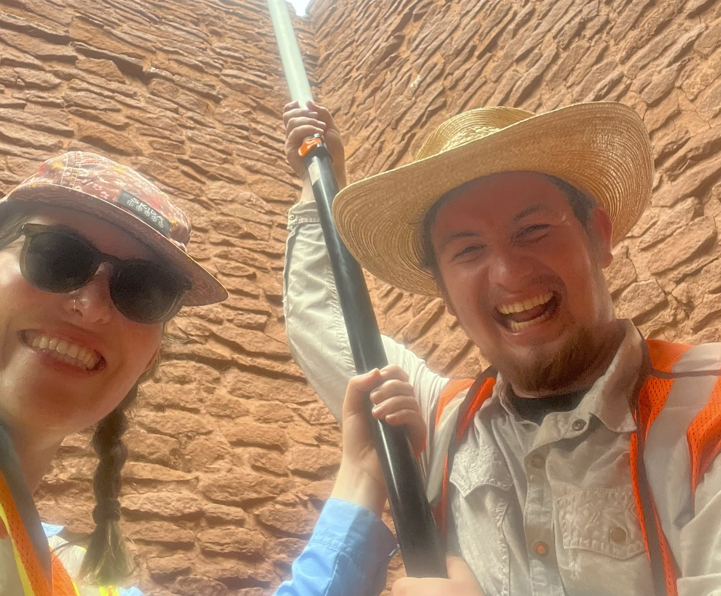 Kaitlyn Davis and Kellam Throgmorton, both assistant professors in the Department of Anthropology, are working alongside nine graduate students to collect imagery that will create a detailed digital record of the site to document what exists today and make it available online so anyone around the world can experience the site, all while giving students the opportunity to learn skills they will need in their chosen careers.
“One of our goals is getting some better baseline information on the condition of the walls, what they look like and what kind of shape the structure is in,” Throgmorton said. “Our second goal is to get images we can use for interpretive purposes so the NPS can take these images and use them in various kinds of visitor experiences and maybe host some 3D models on their websites based on the data we collect.”
The research
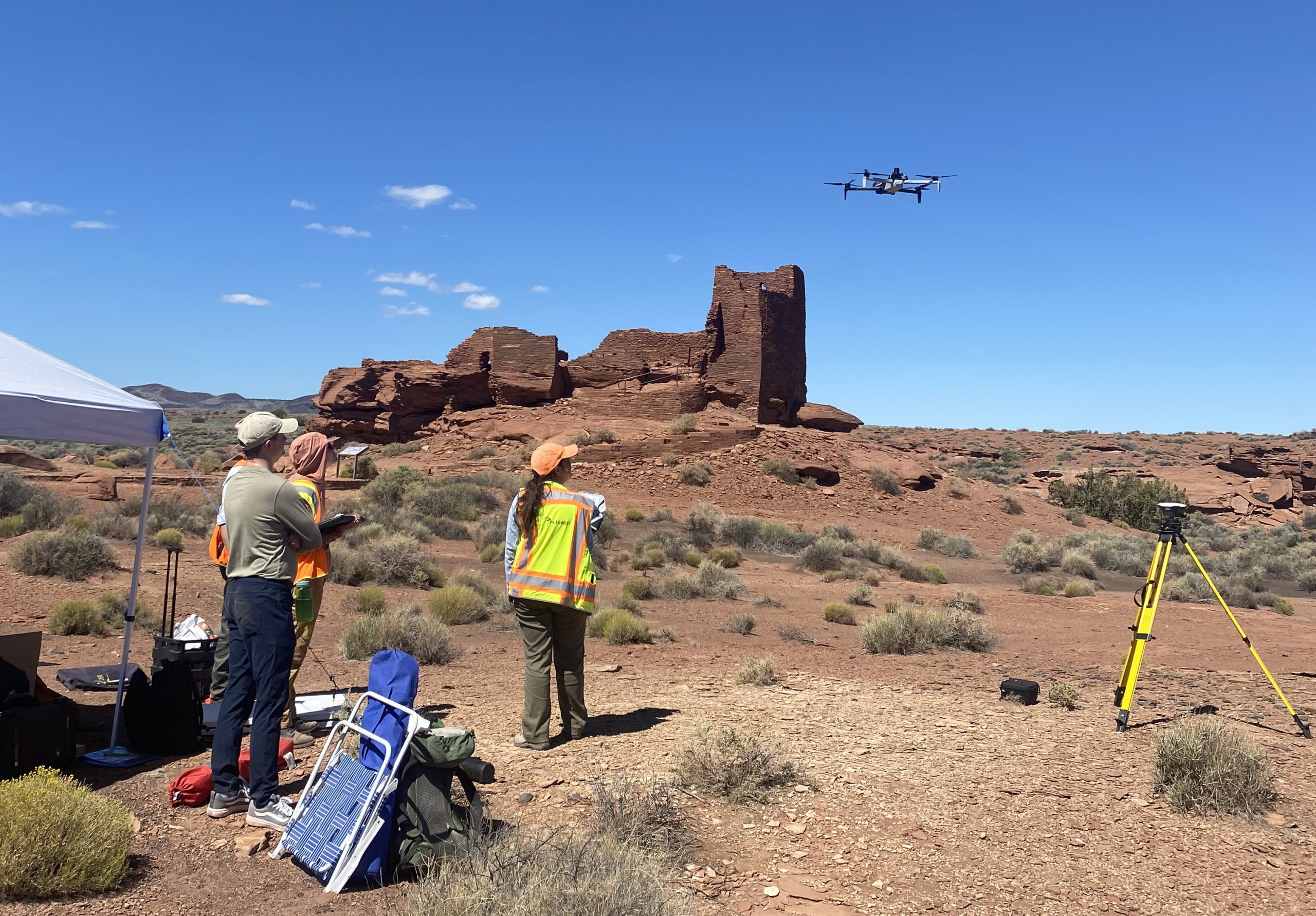 After months of planning, the team visited Wukoki Pueblo for three days with high-accuracy real-time kinetic GPS units, a technology used in most archaeological research mapping and site documentation. The students also got experience collecting thermal and visible light imagery, as well as videos with a drone.
The drone used in the project is part of NAU’s fleet, which Davis said was one reason they were able to partner with NPS on this project.
“Those are the drones that are permitted on federal land projects,” Davis said. “NPS was really excited to partner with NAU and to help us provide an opportunity to train more students in those skills. This is a good opportunity for students to get more experience with that technology, not only for the imagery collection, but also to build interpretive models and documentation products for the park service.”
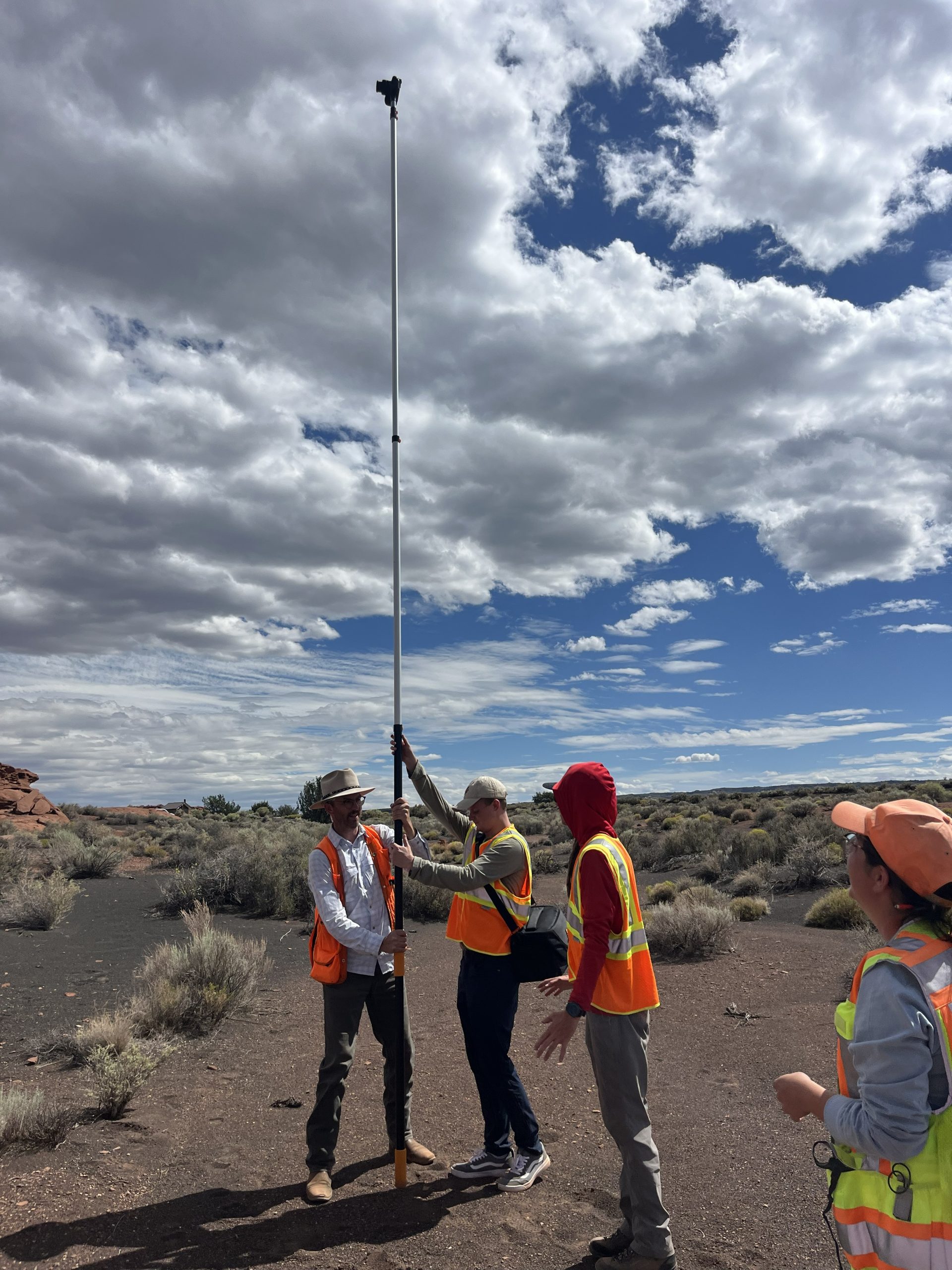 Students experience the data collection process and the logistics of the project by getting all permits and following the processes, as well as the clearances needed to do aerial-based drone work on public lands.
“I had never done any remote sensing before, so I was mostly there to learn,” said Cleo Payne, a first-year master’s student in anthropology. “I helped a lot with photography, which was a big element of it. This is the kind of thing I came to grad school hoping to do. Archaeology is obviously a hands-on field, so being able to get hands-on experience in an explicitly educational setting will hopefully set me up to be able to do stuff like that in my career after I graduate.”
Students also used terrestrial laser scanners that collect panoramic imagery from different angles to document certain portions of the ancestral structure. These lasers help in spaces where handheld and drone cameras can’t reach. At the end of the day, the team collected about 50 gigabytes of photographs of nearly every corner of the ancient structure.
David Crumpacker, an anthropology graduate student, said that although he’d previously been a consultant conducting survey and excavation work on public lands, this project was more intensive and on a larger scale, helping to widen his knowledge of fieldwork.
“If I had the opportunity to learn these skills before entering the workforce, I would have been much more prepared for projects involving standing architecture,” Crumpacker said. “Projects like this are great because they combine student education and public outreach. This project provides a unique opportunity to expose students to methods used in archaeology that are not typically taught in a classroom. After this experience, I will return to the workforce with more knowledge and an even larger toolkit.”
What’s next
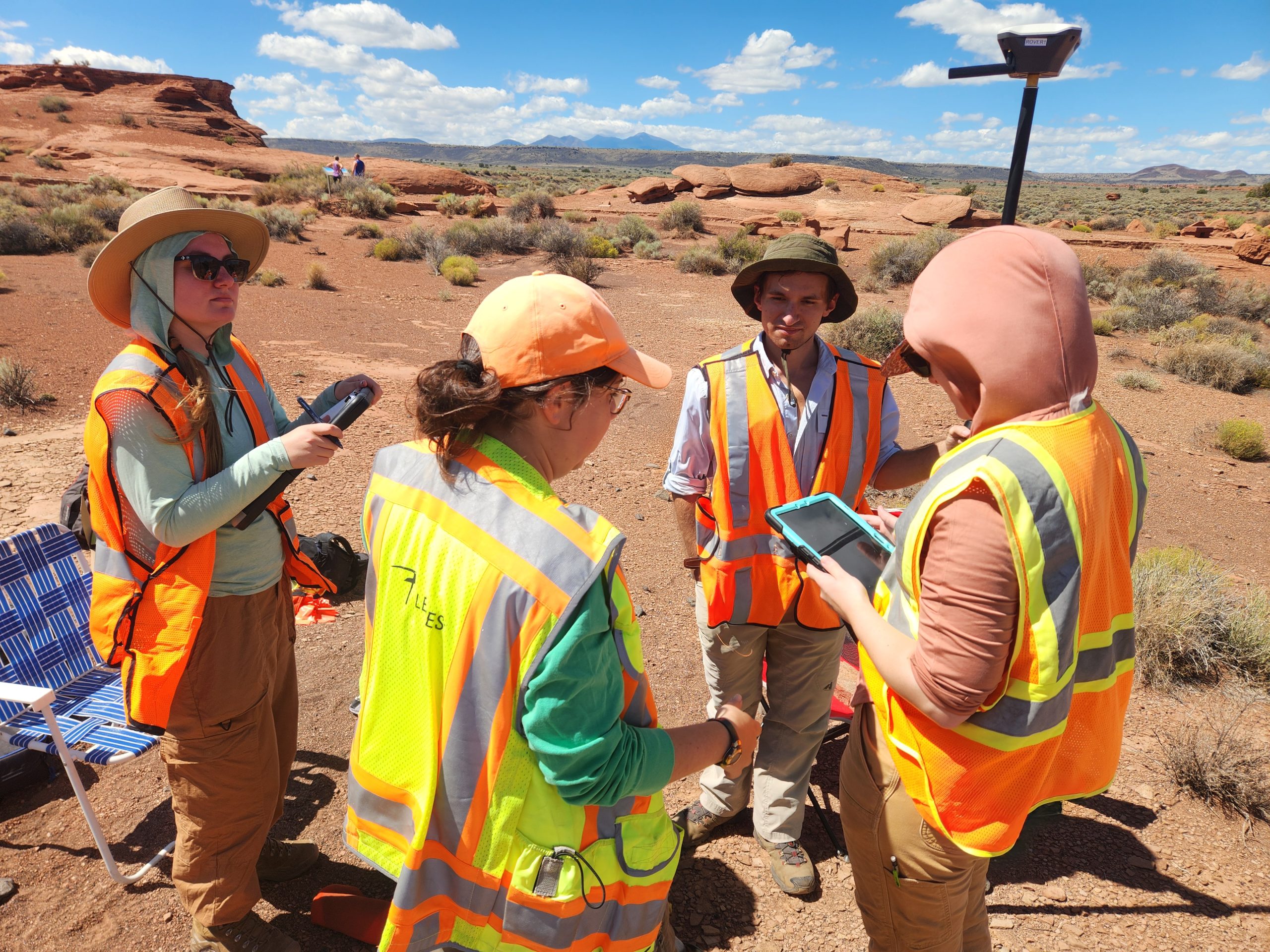 Now that the fieldwork is done, NAU will create a series of deliverable products for the park service. The NPS is conducting tribal consultation for the project with tribes affiliated with Wukoki Pueblo and together, they will determine how the products created by NAU can be used to share tribal histories and knowledge of the site
“The field of archaeology has shifted to doing a lot more preservation-minded work and thinking about how we can document things in a way that is relatively non-destructive and non-invasive,” Throgmorton said. “We have to think about how we create baseline documentation so we can monitor or manage any kinds of changes that might occur to these sites, any ways that they’re being affected by things like climate change, which can create extreme weather events that might cause unparalleled erosion at an open-air site like this one.”
 Mariana Laas | NAU Communications
(928) 523-5050 | mariana.laas@nau.edu