

When fire risk is high, Arizonans know the major warning signs: hot temperatures, low humidity and lots of wind.
But there’s one fire factor we don’t fully understand: soil moisture. Salli Dymond, an associate professor in NAU’s School of Forestry, said measuring moisture levels in the soil and in forest plants—fire’s potential fuel—could prove key to preventing or containing some of the most catastrophic wildfires in the Southwest and beyond.
This summer, Dymond is working with Salt River Project (SRP) and the startup company Growvera to install moisture sensors on plants and dead fuel on the forest floor and underground throughout the southeastern Tonto National Forest. Over the course of a year, she and her colleagues will monitor the sensors and analyze the data they generate. Dymond said that if the sensors provide accurate enough moisture data, they could become a gamechanger in how Arizona officials communicate about and prepare for wildfire season.
“New studies have shown that using soil moisture in conjunction with fuel moisture will bring all the pieces of the puzzle together,” Dymond said. “It could help us understand how dry the forest fuels are, how dry the soils are and how stressed the plants are from hour to hour. That way, we can make real-time decisions about road and forest closures, fire stage warnings and fire suppression right from our computers, without having to drive out and observe these conditions.”
Why soil moisture?
Today, experts in Arizona predict fire risk by gathering and interpreting weather data such as humidity, temperature and wind speed. Dymond said that while that current system works, it misses the full picture.
“We collect weather data out in the open and in a few locations, and it’s not always indicative of on-the-ground conditions,” she said. “Many times, our wildfires ignite under complex terrain where the plants are interacting not only with the weather but also with below-ground moisture. So, the moisture of the soil and the fuels growing in it is really a better indicator of what the conditions are like on the ground.”
Measuring soil and fuel moisture used to be expensive, but sensors have become much more affordable in the last 10 years. That’s where Growvera comes in, Dymond said. The New Mexico startup has developed a cheaper alternative to traditional plant moisture sensors, and they’re working with Dymond and SRP to test out their product’s efficacy. If the sensors work well, it’s a win-win: Growvera can market its sensors, backed with research success, to forest managers, and the Southwest can stay safer from catastrophic wildfires.
“I think Growvera and I have the same goal, which is to get this into the hands of practitioners who can benefit from it,” Dymond said.
Hyperlocal data
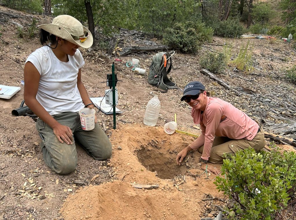
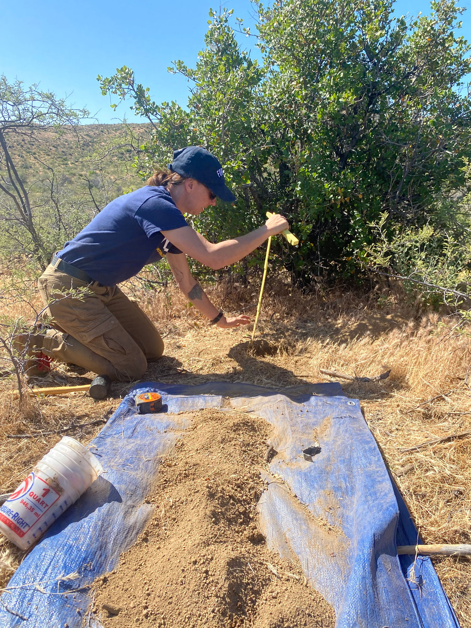
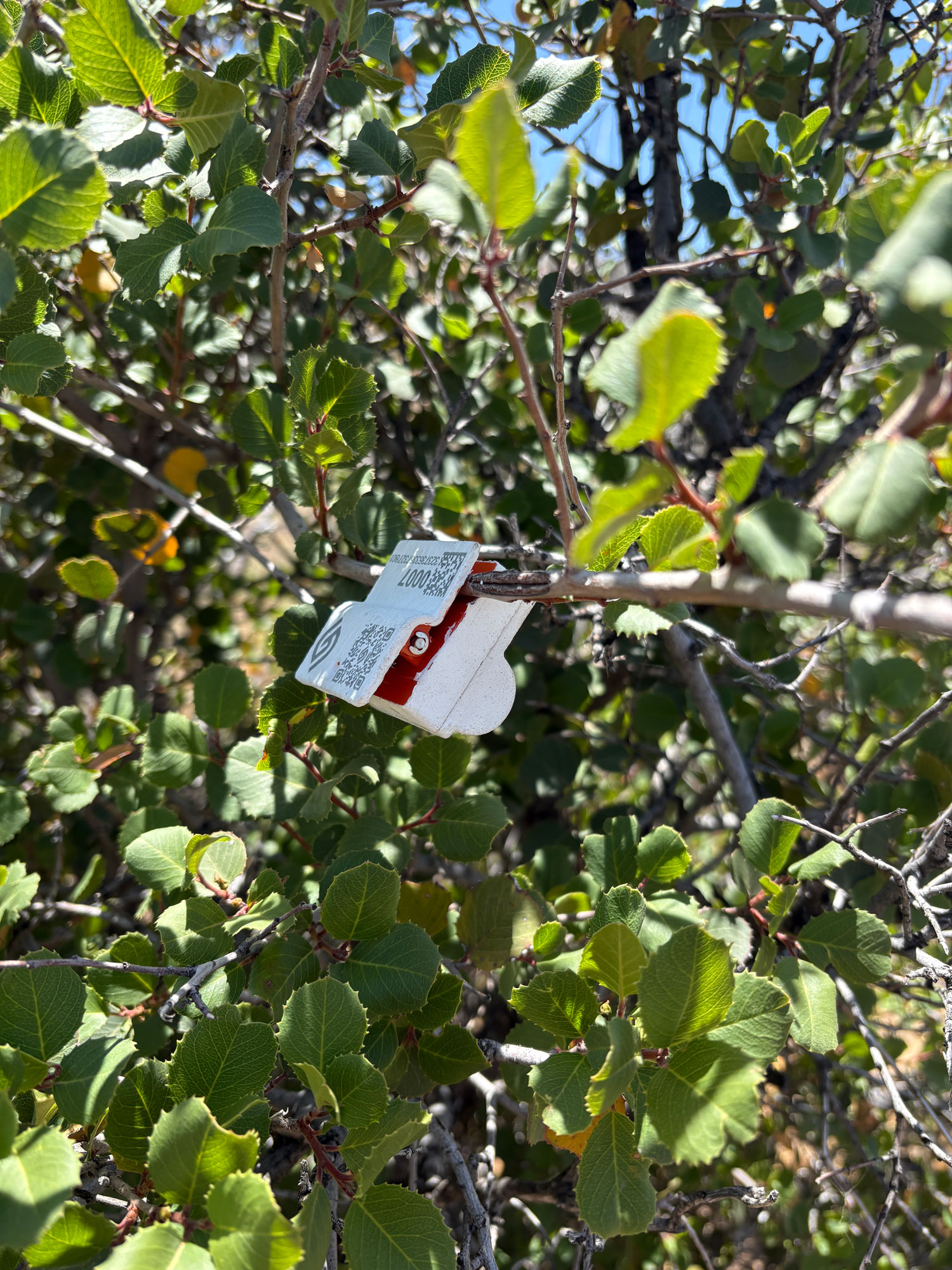
This month, Dymond and her colleagues traveled to sites in Tonto National Forest and attached Growvera’s Chip Clip-like sensors onto dead trees, healthy trees and other wildfire fuel sources like dead twigs and branches. They also buried soil moisture sensors—these look like tiny fans and are manufactured by a different company—at different depths underground. Alongside the data they gather from those sensors, they’ll also gather data from a weather station they’ve installed nearby.
“We’ll track small-scale fluctuations in temperature and relative humidity, and we’ll see how the fuels respond,” Dymond said. “We’ll also see how moisture levels change as precipitation comes in. Live fuels like trees and plants are more complicated than soil in the way they change. They’re like human bodies; they all behave a little differently.”
That’s not just because they’re individual beings—it’s also because rain is hyperlocal. As Arizonans know all too well, a super-soaker monsoon might hit one square mile and completely miss another. Gathering that geographically specific and time-intensive information from afar could help leaders fine-tune their understanding of fire danger while staying safely away from at-risk areas.
“Rather than giving blanket statements like ‘critical fire risk in the Flagstaff region,’ we could say, ‘there’s a critical fire risk in Coconino Estates and a lower risk in Sunnyside,’” Dymond said. “It’s also helpful for prescribed burns and wildfires that are already happening. We could use the data to make a real-time decision to either suppress a fire or keep it going.”
Tonto as a training ground
Along with Dymond and SRP experts, NAU forestry master’s student Anastasiya Jonas will analyze data from the sensors, looking particularly at relationships between dead fuel moisture levels, live fuel moisture levels, soil moisture and vapor pressure.
Dymond hopes that if all goes well with the sensors’ one-year trial, she and her SRP colleagues can not only continue collecting data in Tonto but also expand to other fire-prone forests in the region, giving more students like Jonas hands-on experience with tiny tech that could transform Arizonans’ lives for the better.
“The hope is to have a network of sensor sites across the Southwest and even beyond that,” Dymond said. “Wildfires have become a concern in the entire Western U.S., the Midwest, the Southeast—really everywhere. There are so many regions that could benefit from this data.”

Jill Kimball | NAU Communications
(928) 523-2282 | jill.kimball@nau.edu