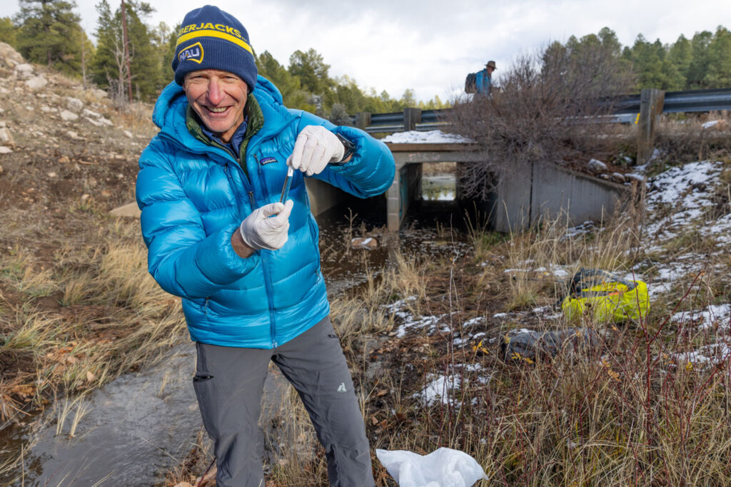


In Arizona, some of the water beneath our feet is a long way down. Groundwater in the regional C aquifer in the Flagstaff region sits more than 1,000 feet—about 75 stories—below the surface. Experts have long wondered: How quickly can the Southwest’s rainfall and snowmelt travel from the surface to those groundwater stores below? Is it quick enough for leaders to consider putting stormwater into the ground to help sustain life in the warming Southwest?
A recent pilot study led by NAU researchers offers some tentative good news, suggesting that cracks and fractures in the region’s limestone may give water a shortcut underground.
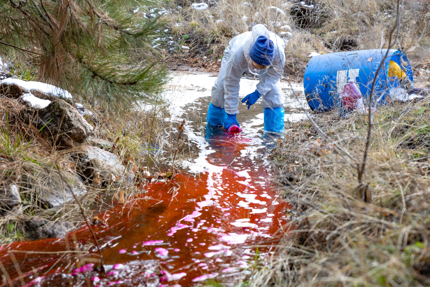 In a town-and-gown experiment conducted in partnership with the City of Flagstaff, an NAU team made up of recent Ph.D. graduate Caelum Mroczek, geology master’s student Cecily Combs and School of Earth and Sustainability professor Abraham Springer released water containing a small amount of fluorescent water tracer into a normally dry wash in Flagstaff. About 11-13 days later, two different monitoring methods recorded detection-level fluorescence at a city production well 1.7 miles away. Mroczek said that meant the water had potentially traveled through more than 1,000 feet of fractured limestone before reaching the groundwater system below.
“Deep water tables like the one we have here have long been seen as a barrier to managed aquifer recharge,” Mroczek said. “Our preliminary study suggests that Arizona’s karst high country—the snowmelt-fed ‘water tower’ on the Colorado Plateau and Mogollon Rim—can take in recharge more rapidly where natural fractures exist.”
The results of the preliminary study were recently published in Groundwater.
Mroczek said the fact that two independent methods recorded traces of the fluorescent tracer during the same 48-hour period suggests that the surface and the Coconino aquifer are connected through relatively fast underground pathways. The researchers calculated a straight-line rate of roughly 650-800 feet per day. They believe that, rather than slowly filtering through rock uniformly, the water moved preferentially through a network of fractures.
Deep water tables like ours have historically been seen as difficult candidates for managed aquifer recharge—a state-regulated process that puts excess water, including reclaimed water and stormwater, into the ground so it can replenish the aquifer. But Mroczek said these preliminary findings show Flagstaff and surrounding communities could be perfect candidates for managed recharge.
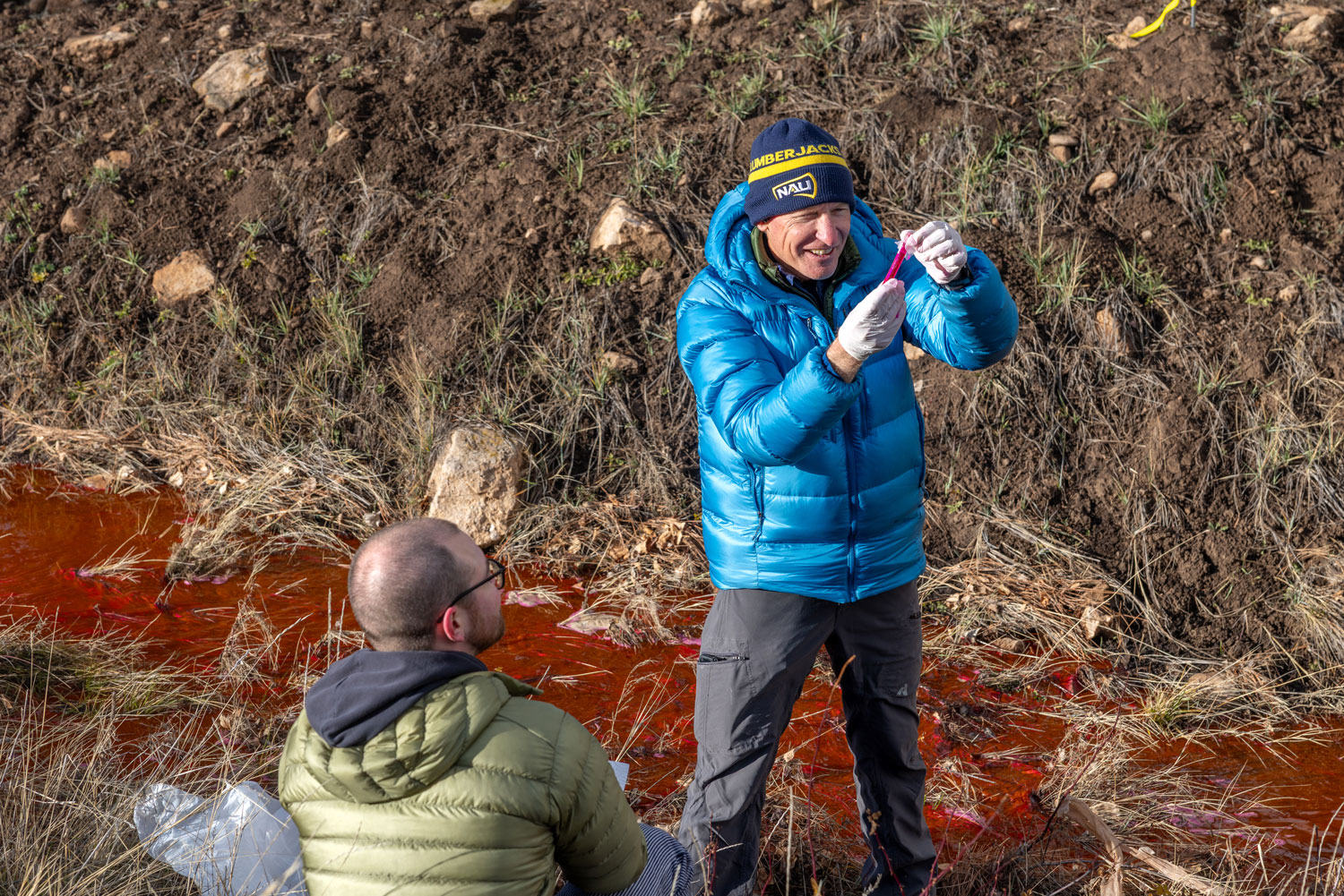 Springer added that the findings could have implications far beyond Flagstaff. Their experiment offers a comparatively simple way for water managers across the Southwest, especially those with similar limestone geology, to test whether a potential recharge location connects to the aquifer they hope to replenish before committing to more extensive infrastructure.
“Groundwater provides about 40% of the water supply for the state of Arizona,” Springer said. “If studies like this one can be replicated across the state and the Colorado Plateau, our communities can get a better understanding of how their aquifers recharge and prepare for the future. In an era when our water resources are becoming more limited and our droughts last longer, it’s important to find ways to replenish those supplies. And during potential epic recharge years like is possible for winter 2027, these studies quantify the natural recharge from extreme events.”
In addition to the City of Flagstaff’s support through a grant received from the Water Infrastructure Finance Authority Water Conservation Grant Fund, the researchers’ work was supported by the Arizona Board of Regents’ Technology and Research Initiative Fund.