

NAU is putting Arizona on the trail to a healthier future.
With a grant from the National Park Service (NPS), researchers from the university are collaborating with the Sun Corridor Trail Association, the NPS Rivers and Trails Conservation Assistance Program (RTCA) and counties throughout the state to build the Sun Corridor Trail, an unbroken 1,500-mile path stretching from one end of Arizona to the other.
Franklin Vernon, an associate teaching professor in the Department of Geography, Planning and Recreation, along with a team of undergraduate and graduate students, has been working on this project for six years and, thanks to this new grant, will continue mapping trails across the state for the next five years.
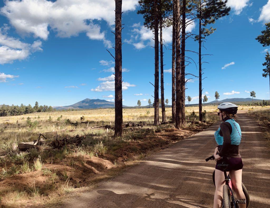
 “The idea is to increase connectivity, for example, between Flagstaff and Williams through front-country experiences where you could get on an e-bike in Flagstaff and go over to Williams to have lunch there with your family and then be able to come back to Flagstaff,” Vernon said. “All while never really having to venture into remote, rugged, primitive trails and terrain.”
The goal is to map trails throughout the state, starting at the border town of Douglas in the south and stretching northwest to Bullhead City. The corridor is set to conclude in Las Vegas.
One trail at a time
The first step of the project was to develop the route selection criteria for these trails, which is where NAU came in.
“There are a lot of people all over the state actively working on this project,” Vernon said. “We developed the inclusion and exclusion criteria, the minimum qualifications, the field guides for going out and ground truthing”—the practice of gathering on-the-ground observations—”and the processes for post-field analytic work.”
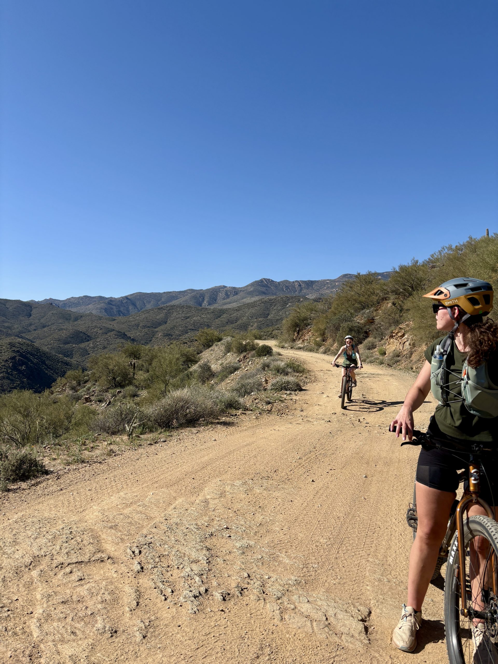
Since the area the Sun Corridor will cover is so vast, the team must map one piece of the trail at a time, taking into consideration factors such as weather conditions in different locations. Vernon said that since the work requires a lot of physical activity for periods that range from eight to 10 hours a day, a lot of the work during the summer is done in northern Arizona, while the mapping in the southern part of the state is usually done during the cooler months.
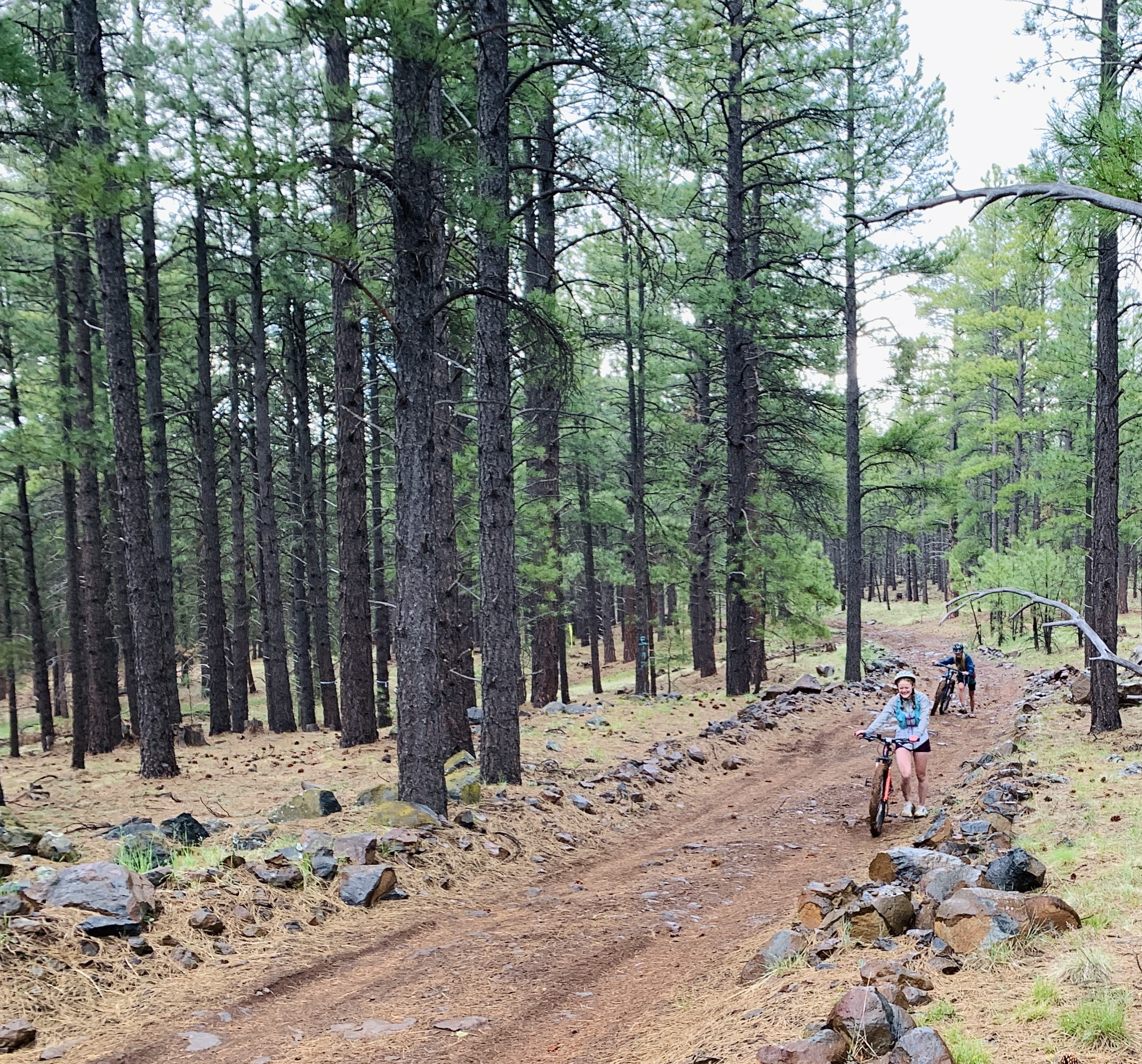
Before doing the groundwork, Vernon and his team meet with content experts in the area such as outdoor guides, planners and county employees, then the team creates a database of potential alignments. Once the start and end point of the trail is decided, they load their GPS equipment, cameras and field journals and hop on their mountain bikes to start the mapping process.
“Over the course of the day, we’ll be navigating some section of an alignment to connect those communities and spending a whole lot of time just standing around with our field guides open, taking notes and collecting data,” he said. “We look at the surface material and terrain conditions, exposure and elevation change, gradient, escape routes and access to resources, among other criteria.”
After collecting data throughout the day, the team writes more extensive field notes that are then loaded into a common database. For any given region, they look at all possible alignments between two communities, which can be three or even 100 variations. After using their criteria and assessment materials, they narrow down the alignment possibilities to one or just a few ideal scenarios.
 After all the data are incorporated into the long-term plan, the group delivers a report to the organizations they are working with that includes their recommendations of possible trails and the possible infrastructure needed.
The end of the trail
Huge projects like these go faster when more people are involved. That’s why, over the next two years, Vernon and his team will train others to help them with fieldwork, teaching them how to take field notes and select the best routes. The data collected will all be sent to NAU who will act as a data repository and analytic hub.
This collaborative effort will create a clearer picture of the state’s trail infrastructure, making it easier for communities to connect with the outdoors, get more active and enjoy open recreation, all while bringing potential benefits to their neighborhoods—from stronger community connections to increased property values.
During workshops and listening sessions performed by the team, communities across the corridor said they were interested in trail connectivity—not just a dirt path through the woods, but an active transportation trail they can use for travel, commute, exercise and regional exploration.
“People want options and ways to travel without necessarily needing to get into a car,” Vernon said. “Having access to trail systems, especially active transportation kinds of trails, provides people with ample opportunity for relatively accessible, low-risk outdoor recreation where people can be outside exploring, exercising and spending time with friends. Evidence-based research shows that spending regular time in natural environments, especially doing low-stress recreation, can provide not only physical benefits but also psychological ones by reducing stress and improving one’s perception of well-being.”
 Mariana Laas | NAU Communications
(928) 523-5050 | mariana.laas@nau.edu