Services
The Geospatial Research and Information Laboratory (GRAIL) offers a variety of GIS-based services—map image creation, spatial analysis, data modeling, and more—to support NAU faculty, staff, students, and partners.
Please contact Mark Manone for more information.
Map image creation
Do you need a map image to include in a report, manuscript, web page, brochure, or other type of communication? The GRAIL staff can create publication-quality maps using data from the fields of geology, biology, atmospheric sciences, social research, and more. These maps range from simple line drawings to those that show more detailed information such as topographic relief, 3-D representations of buildings, and graph inserts summarizing census data or other map attributes.
Spatial data collection and development
Do you need help developing spatial data layers that fit the specific needs of your research or project? GRAIL services include digitizing hard copy maps, collecting or processing GPS data, acquiring existing layers from multiple sources, and processing satellite and remote-sensing imagery.
Spatial analyses
Would you like to explore spatial relationships within or between data layers? GRAIL staff can perform a variety of vector- and raster-based analyses using either existing applications or custom computer code. For example, map overlays can uncover high-priority areas for project siting and correlation and other statistical analysis can reveal significant patterns.
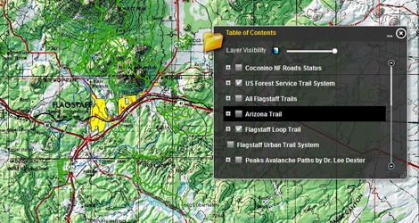
Interactive web-based maps
Would you like to display or share your spatial data through an interactive web-based map? Interactive maps are designed for users who are not GIS professionals but require geographic information that can help them make more informed decisions in areas that involve a geographic dimension. We can interface with ESRI ArcGIS Server, Google Earth/Maps, or other formats and products.